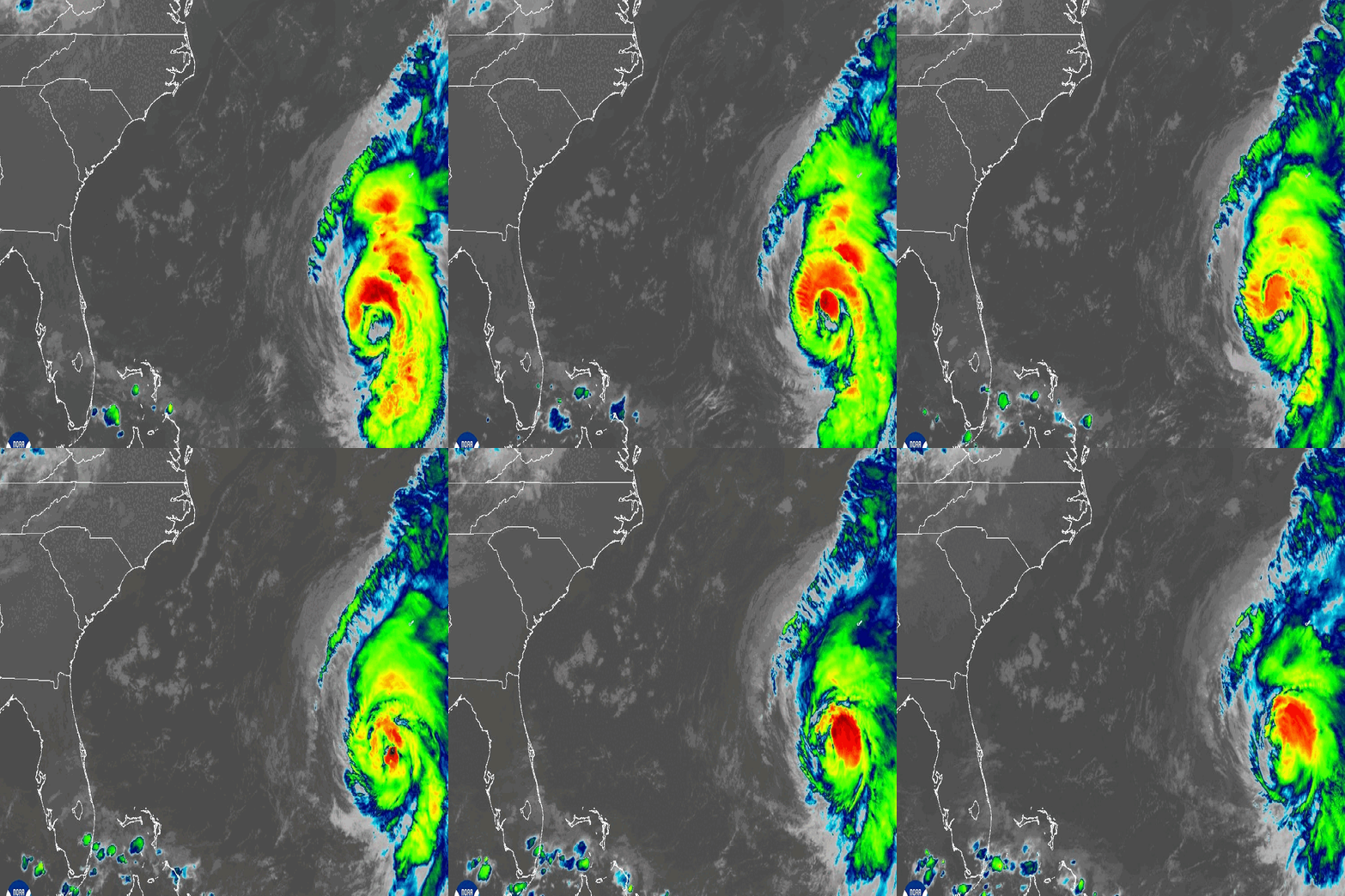
While Hurricane Ernesto is set to pass well offshore from the New York City metro area this weekend, the tropical system will very much be felt in the area, especially along the coast.
Expect dangerous rip currents and large waves — up to 9 feet on parts of Long Island — through the weekend. (Here’s why rip currents are so threatening, and what to do if you find yourself in one.) High wind gusts close to 30 mph are possible in some areas along the Jersey Shore.


Ernesto’s swells, an onshore wind and a nearly full moon will combine to produce higher-than-normal tides, beach erosion and increased coastal flooding in all the usual low-lying areas.
As of the National Hurricane Center’s latest update, Ernesto had maximum sustained winds of 100 mph and was about 255 miles south-southwest of Bermuda, which it is expected to pass over Saturday as a large hurricane. A widespread 4 to 8 inches of rain is expected, with up to a foot of water possible in isolated spots. Meanwhile, hundreds of thousands in Puerto Rico are still without power.

10-day NYC forecast outlook
Showers and storms are possible in the tri-state on Sunday and into Monday. But the area should dry by Wednesday, leading to a beautiful stretch of weather for the back half of next week.
The humidity ebbs by the middle of next week, too.

Track any approaching rain using our interactive radar below.

