


Enjoy Tuesday’s quiet and warm weather. We start cooking tomorrow.
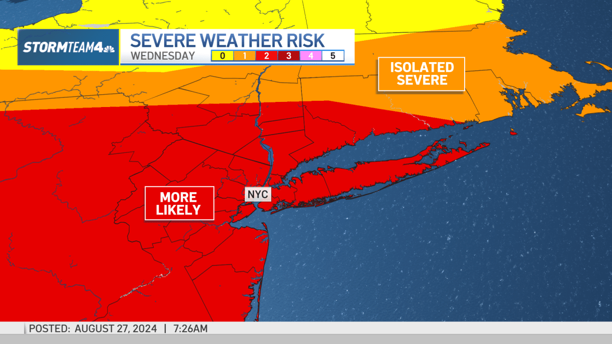
The National Weather Service has already issued an excessive heat watch for much of New Jersey ahead of Wednesday’s anticipated scorcher. That watch will likely become a warning from noon to 8 p.m. A heat advisory, meanwhile, will be in effect for New York City and Westchester County. Check the latest severe weather alerts here.
It won’t be just the temperature on the thermometer bringing the heat: humidity is also spiking on Wednesday, contributing to feels-like temperatures nearing the triple digits.


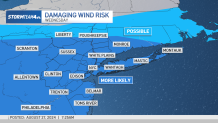
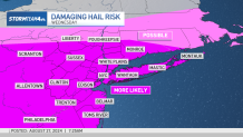
Along with the heat comes the threat of isolated strong to severe thunderstorms. Damaging straight-line wind and hail appear to be the greatest threats at this point. That passing cold front will also knock temperatures back into the 70s for Thursday.

Looking ahead, temperatures stay moderate for the rest of the 10-day weather forecast. We’ve got another chance for showers and storms on Saturday as the week’s second cold front pushes through the region. The rest of Labor Day weekend should be warm and mild (though it most certainly won’t be a pretty one for travelers).
Temps will stay in the 70s and lower 80s straight through Labor Day weekend and into the beginning of September, giving us a start to fall that’s actually going to feel like it.

Track any approaching rain using our interactive radar below:


